

www.giscience.it is a project focused on GIScience. The initiative, born in early 2003 after an original idea of Ezio Crestaz and Anna Spinaci, has been addressing the increasing demand for high quality learning support in the emerging field of geographical information applications development and analysis, while trying to extend the debate on GIScience and its applications in the environmental and socio-economic fields. High academic and professional profiles of project staff guarantees quality targets.
All courses programms promoted in previous editions are still available online at web site Courses section. Members section, freely available after registration, provides original contributes (papers, M.Sc. and Phd theses) and Web resources references (education, job, web sites of interest and events) relevant to GIScience.
![London Profiler: e-social [Authors: P. Longley and M. Gibin, 2007]](img/londonprofiler_lr.jpg)
![Graoundwater salinization in coastal area of Sangro valley, simulated in FEFLOW 5.3FM [Author: Tatangelo F., 2006]](img/intrusionesangro.jpg)
![Percentuali schede bianche alle elezioni politiche 2001 e 2006 [Crestaz E., Gibin M. e Spinaci A.] - Fonte dati: Diario, anno XI, N.46, p.9. Visualizzazione in ambiente ESRI ArcGIS 9, secondo i principi di design cartografico discussi in: Tufte, 2001. The Visual Display of Quantitative Information, Graphics Press, Cheshire, Connecticut, USA](img/schedebianche.jpg)
Training program
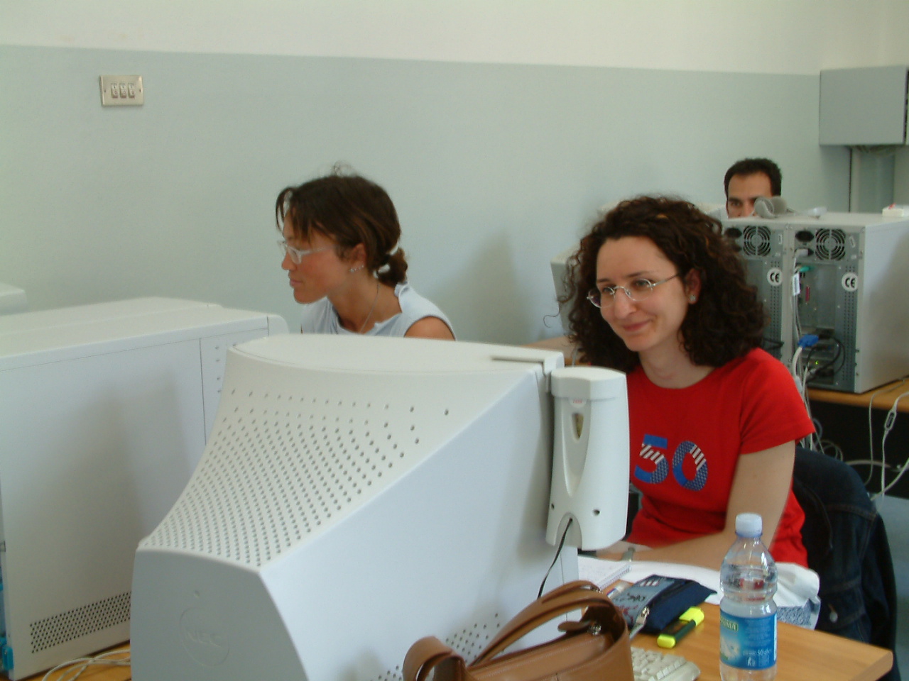
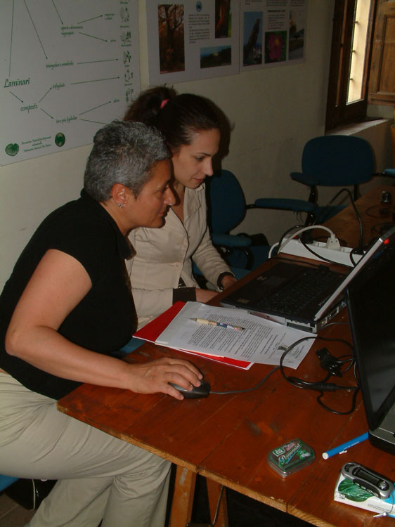
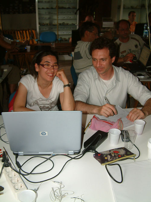
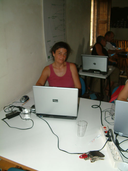
www.GIScience.it organizes customized training courses at both private Companies and public Institutions
for info keep in touch info@giscience.it
A hands-on introduction to databases and geodatabases
Object oriented model, software engineering, Python pogramming
Period: 8-9-22-23 may and 12-13 june 2015
Design and development of GIS software applications
Object oriented model, software engineering, Python pogramming
Period: 8-9-29-30 may and 12-13 june 2015
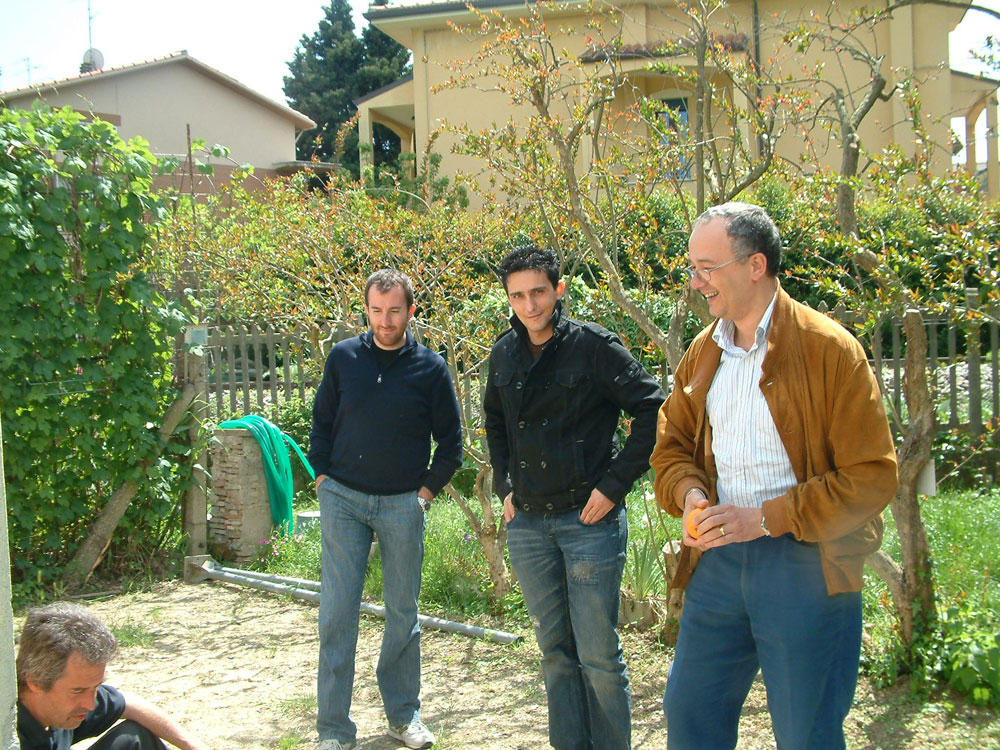
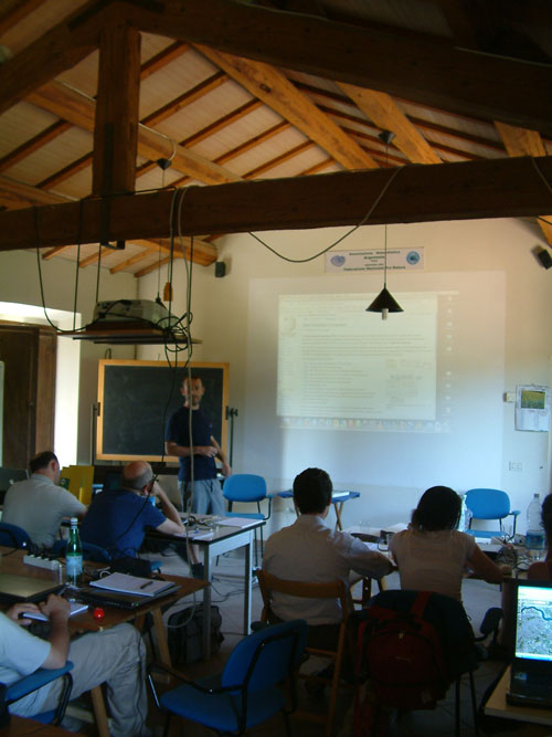
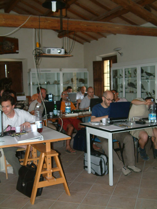
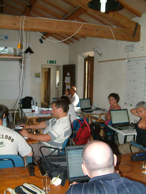
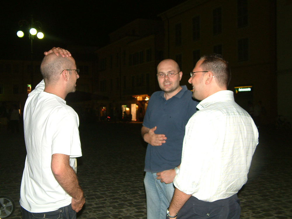
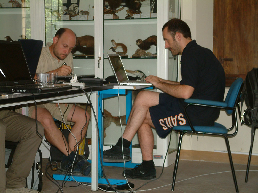
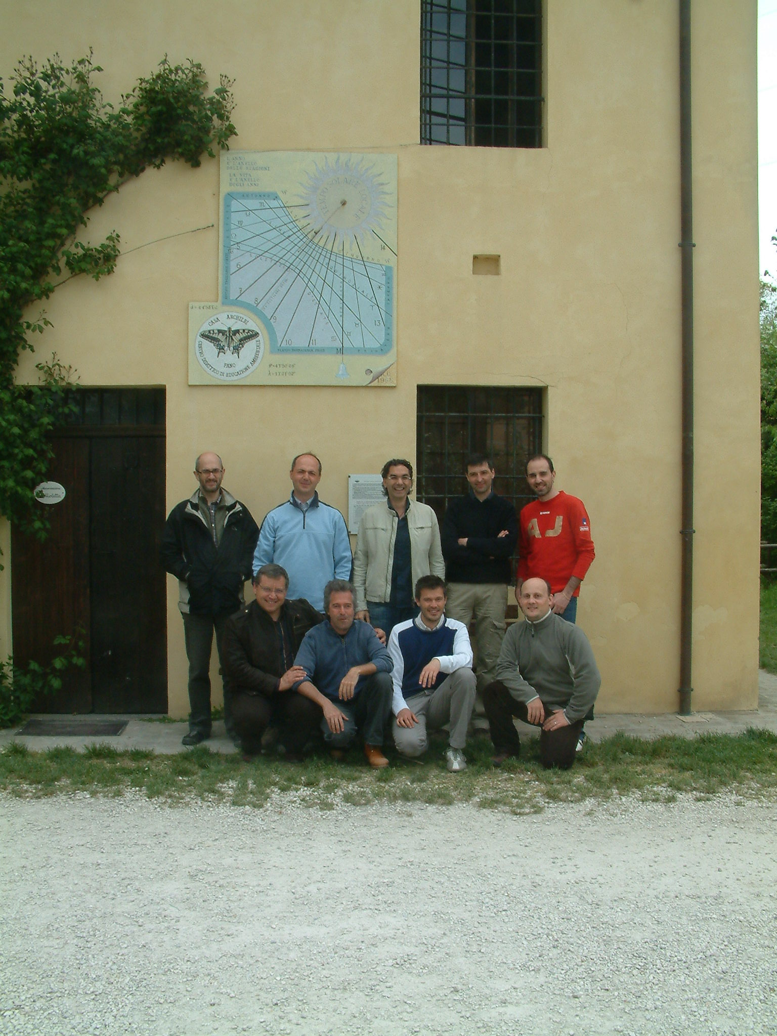
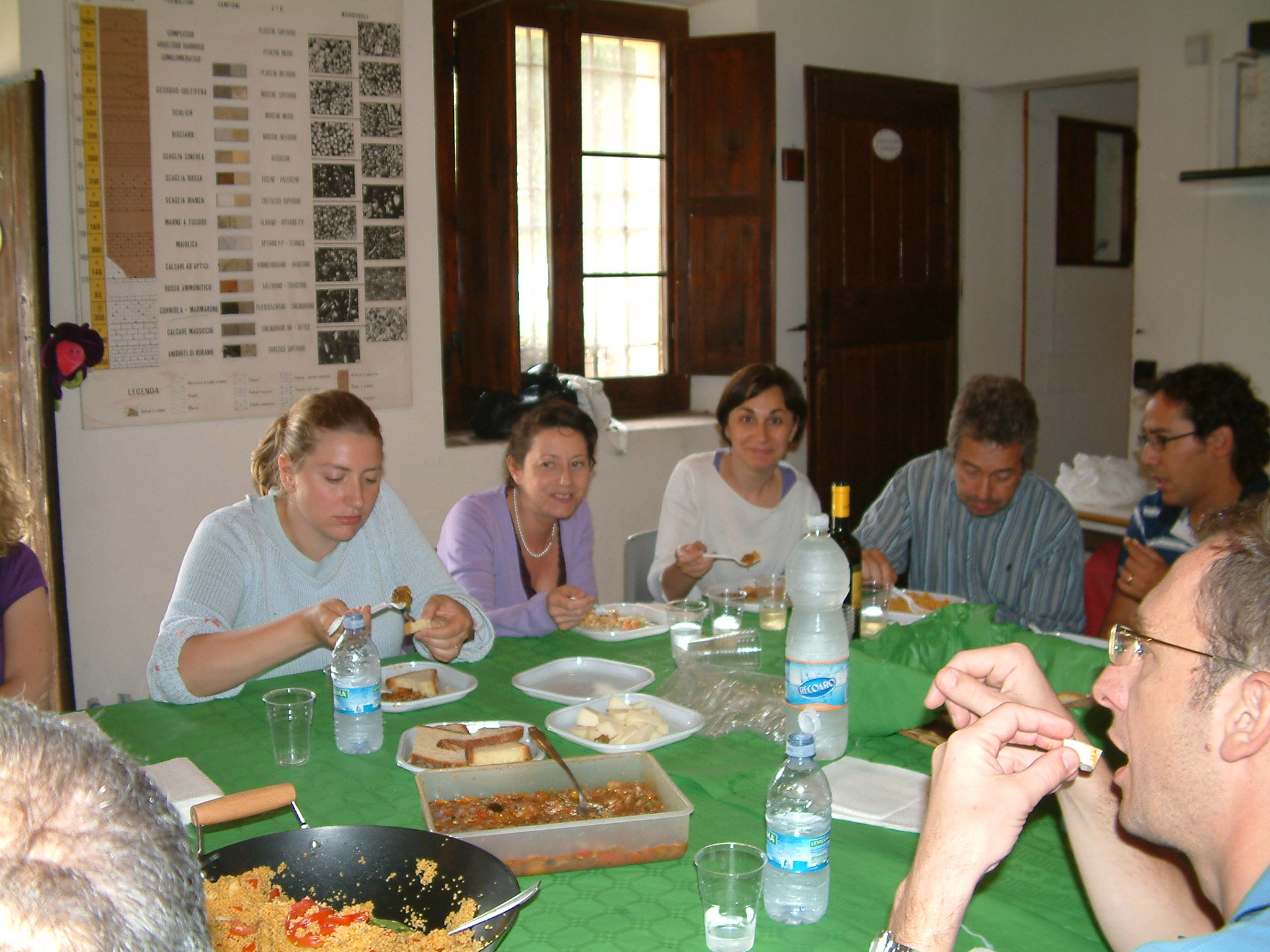
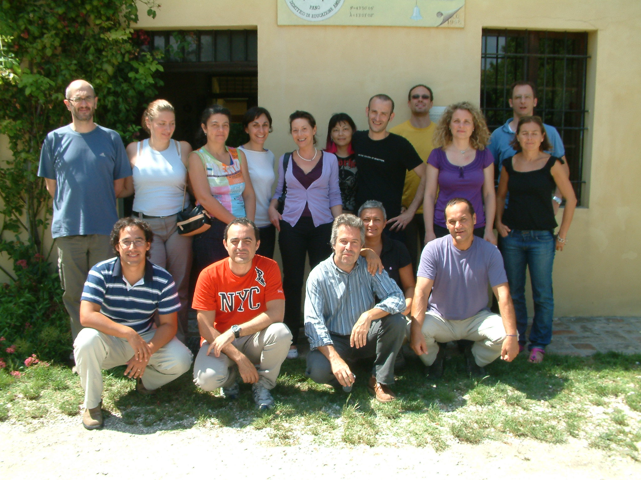
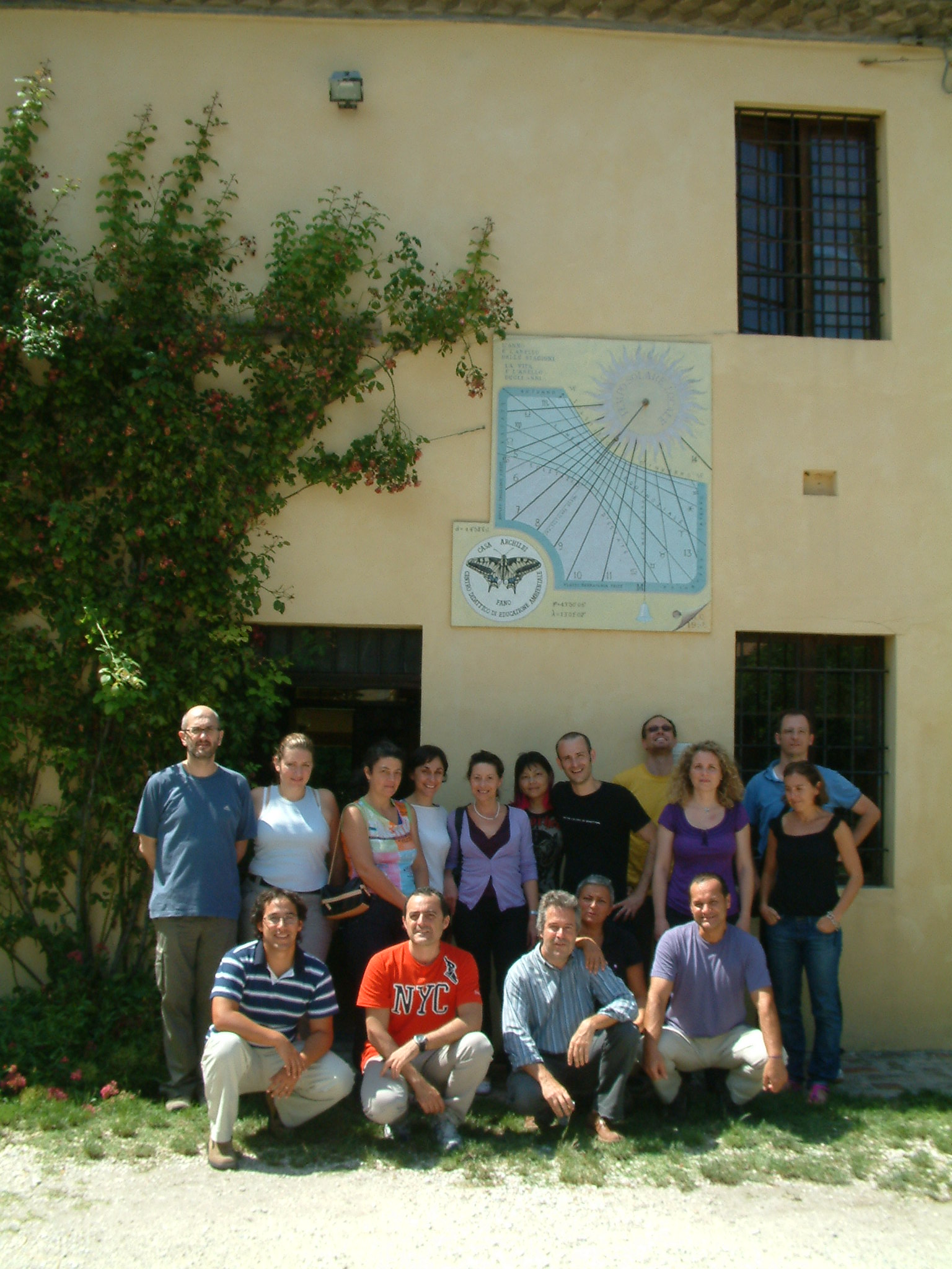
Courses take place at the Environmental Education Center Casa Archilei, located downtown in Fano (PU), close to major communication links.
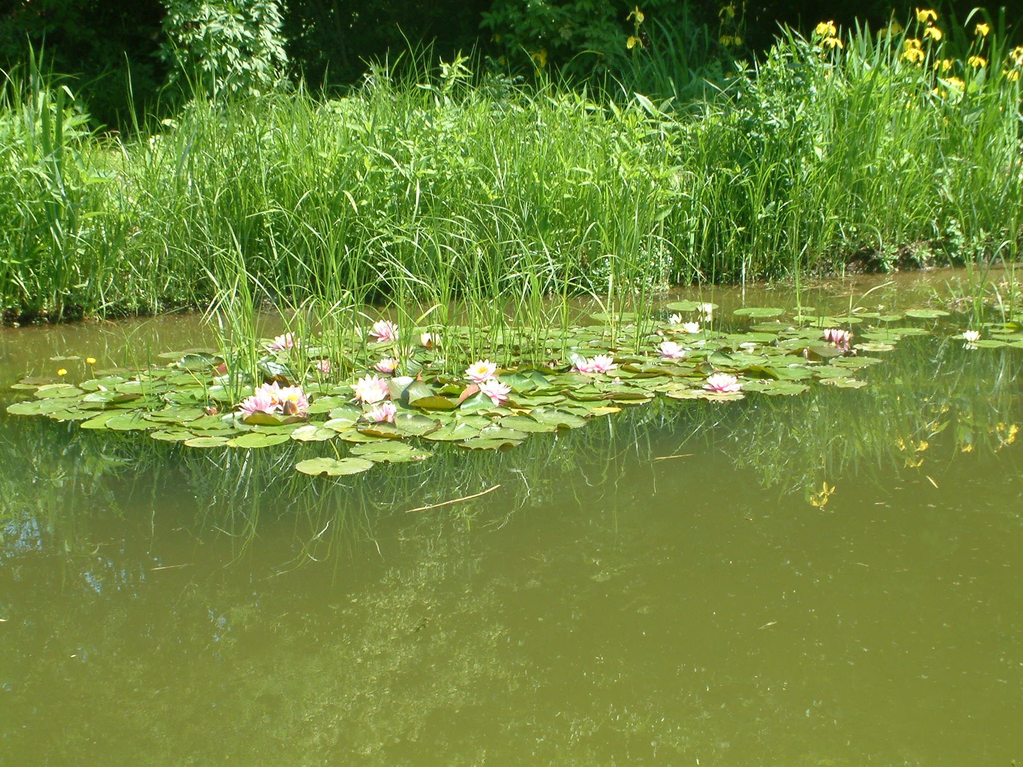
![Casa Archilei: May flowers [Photo: Ezio Crestaz]](img/archilei03.jpg)
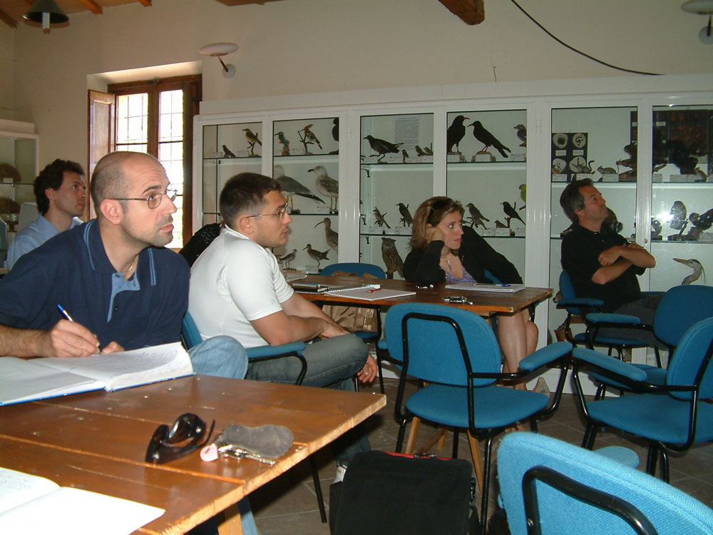
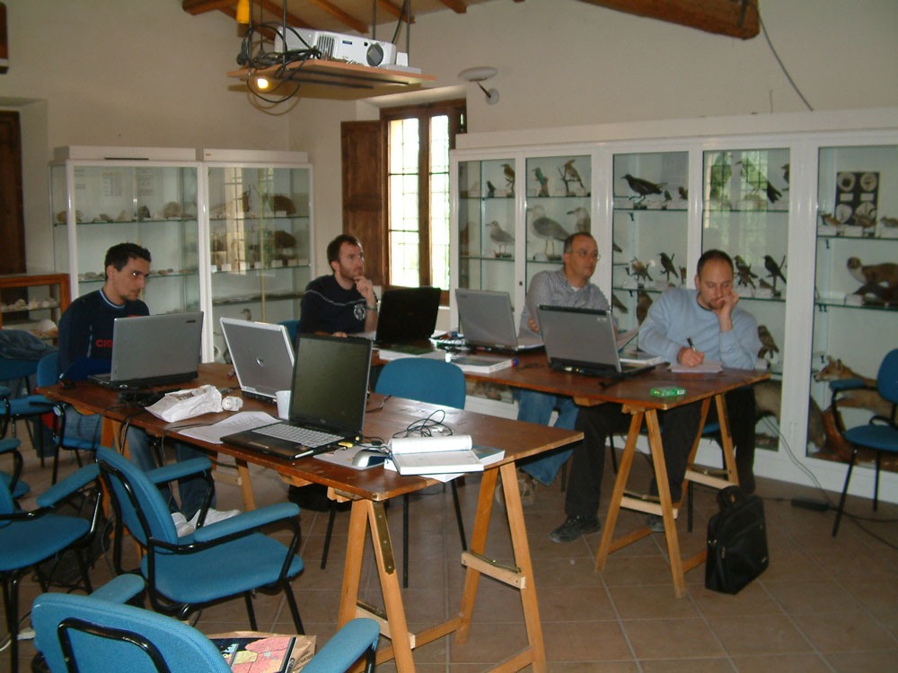
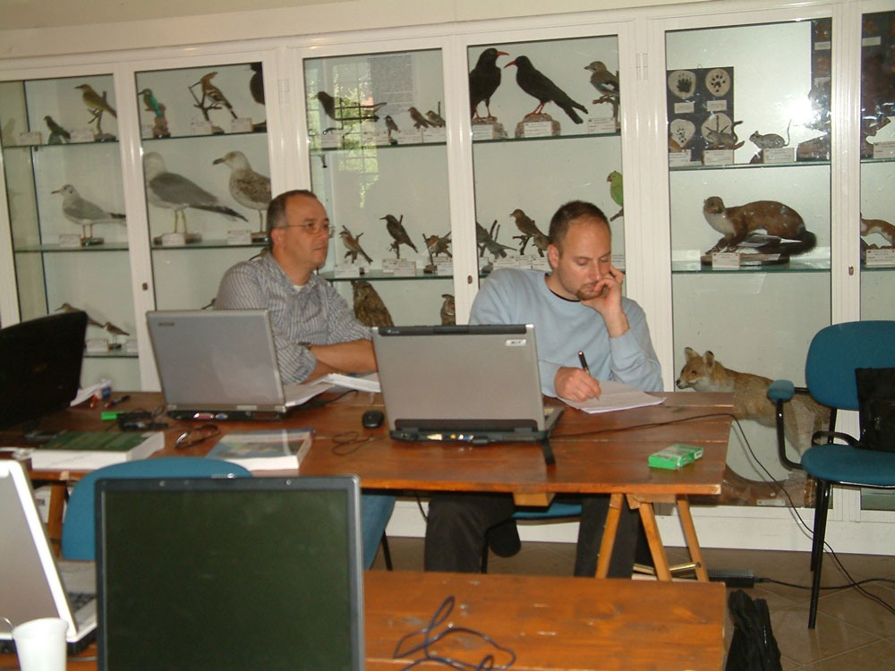
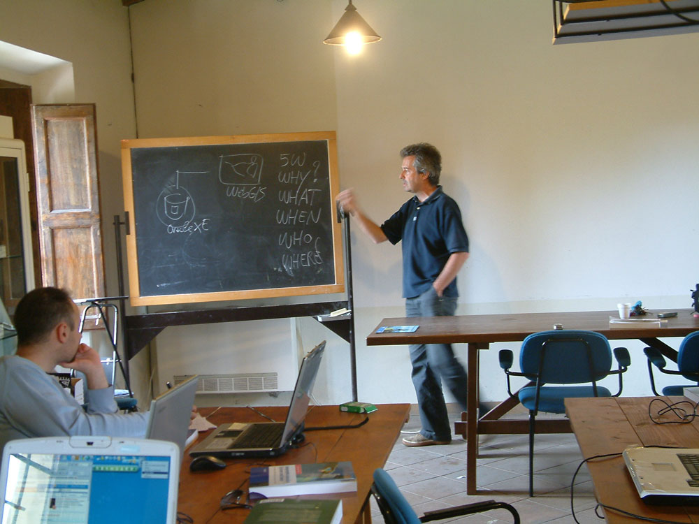
![Casa Archilei: classroom view [Photo: Ezio Crestaz]](img/archilei02.jpg)


Links
Design and development of a prototype addressing spatio-temporal environmental vector data management, analysis and delivery using Open Source technology.
General framework and case study focused on groundwater management in a coastal area
Ezio Crestaz
 (6,89 Mb)
Modellizzazione spazio-temporale delle dinamiche di uso del suolo ed analisi comparativa di differenti approcci preditivi
Uso integrato di SIG e Telerilevamento nello studio dei processi di deforestazione nella regione La Joyanca in Peten, Guatemala
Marco Follador
(11,511 Mb)
Le Sertao Mineiro: un territoire à la recherche de ses paysages et de ses identités
Fernanda de Andrade Pinto Rennò
(33,995 Mb)
PublicProfiler, UCL - Department of Geography
The publicprofiler worldnames website utilises a range of new and up to date data sources to examine where in the world people with your surname are found
Shuttle Radar Topography Mission (SRTM)
Digital Terrain Model at world scale, available for free, 30 mt resolution for the USA and 90 mt oter wise.
USGS
Landsat imagines available for free
Follador M., Villa N., Paegelow M., Renno F. e Bruno R., 2008. Tropical deforestation modelling: comparative analysis of different predictive approaches. The case study of Peten, Guatemala. Springer Berlin Heidelberg
USA presidential elections
Spatio-temporal cartography of vote distribution in 1992-2008
London Profiler, UCL - Department of Geography , CASA (Centre for Advanced Spatial Analysis) e NCeSS (National Centre for e - Social Science)
Google Maps visualization of socio-demographic data of London
Southwark Primary Care Trust, UCL - Department of Geography e CASA (Centre for Advanced Spatial Analysis)
Socio-demographic analysis in Southwark borough, London
AIGA - Associazione Italiana di Geologia Applicata e Ambientale
Web site devoted to applied geology and environmental sciences
Events
Master in applied coastal sciences
Parma (Italy), academic year 2010/2011
Course: "Valutazione Ambientale Strategica (VAS) dei Piani Urbanistici Comunali"
Trento, 16-17 June 2010
Terze giornate Triestine degli utenti gvSIG
Trieste, 13-14 April 2010
Turin, 6-7 October 2009
Summer school in Geography of Tourism "Spatial Decision Support Systems (SDSS) for Tourism Planning"
Rimini (Italy), 7-11 September 2009
29th ESRI International User Conference
San Diego (USA) 13-17 July 2009
The 2009 International Conference on Computational Science and Its Applications (ICCSA 2009)
Yongin (Korea)., 29 June-2 July 2009
VESPUCCI Summer Institute on Geographic Information Science
Firenze (Italy)
29 June - 3 July"Cognitive Processing and Representations of Place, Space, and Time "
6-10 July"INSPIRE implementation"
IV Meeting GIT - Geology and Information Technology Group
Cagli (Italy), 15 - 17 June 2009
Hannover (Germany) 2-5 June 2009
X Meeting degli Utenti italiani di GRASS-GFOSS
Cagliari (Italy), 25-27 February 2009
London (UK) 13-14 January 2009
VIII International Geostatistics Congress
Santiago (Chile) 1-5 December 2008
GIS Day 2008: tenth anniversary
World - 19 November 2008
5th International Conference on GIScience (including various workshops)
Park City, Utah (USA) 23-26 September 2008
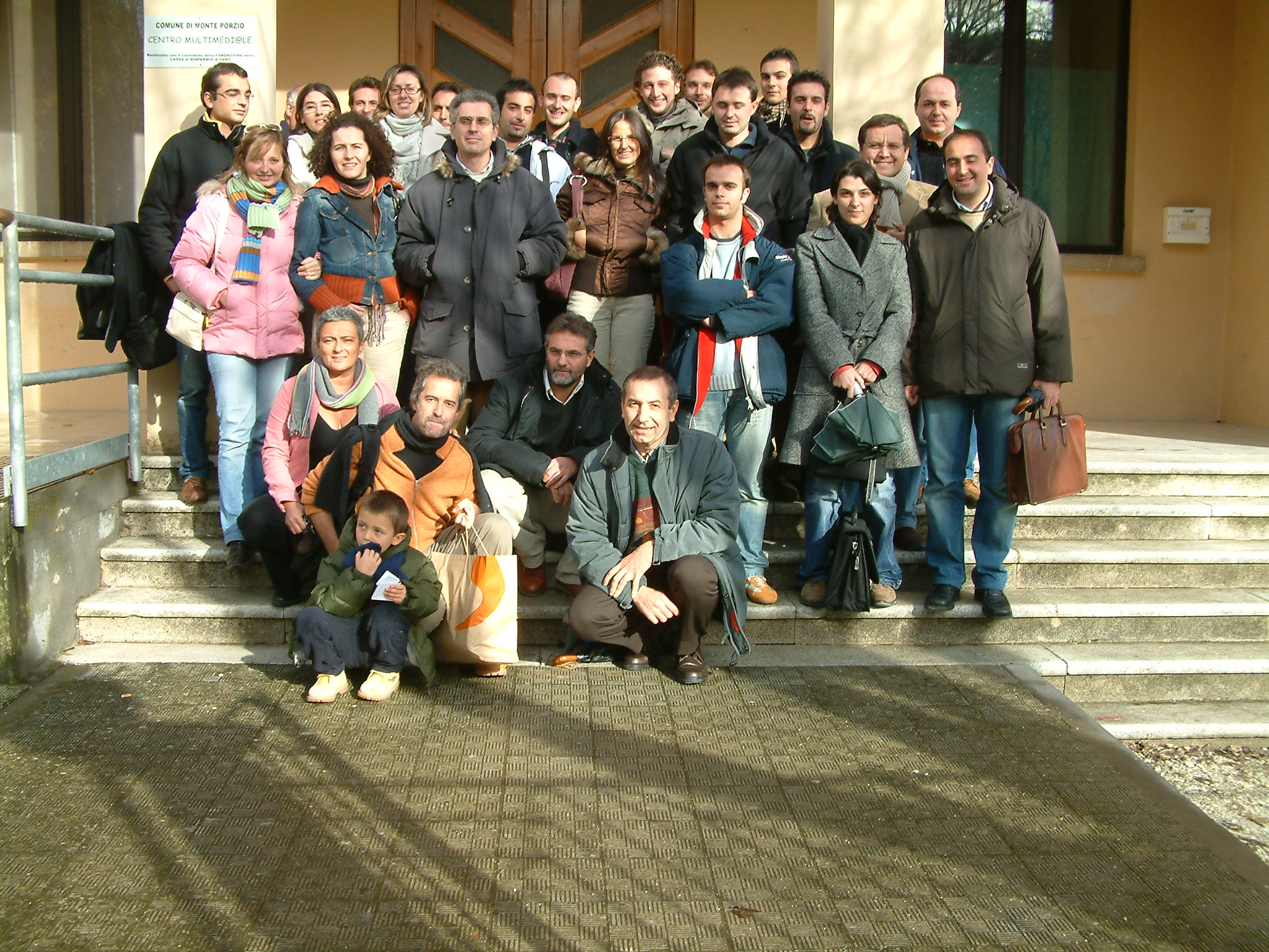
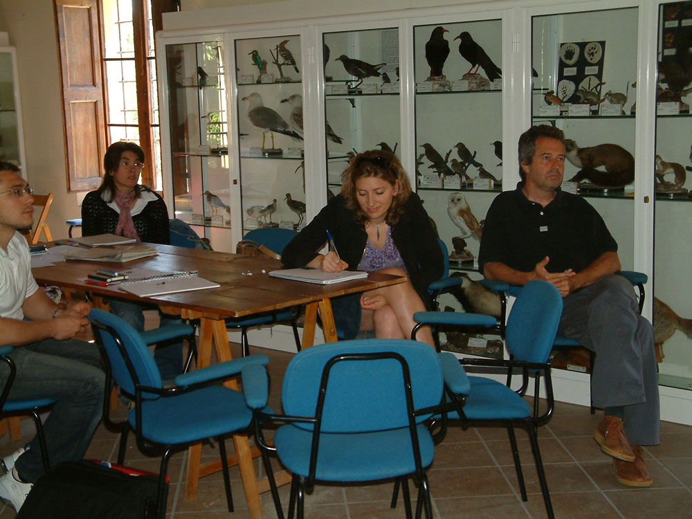
People from following companies and universities participated in our courses:
Comune di Ascoli Piceno - Urbanistica
Comune di Fabriano - Programmazione e SIT
Comune di Senigallia - Urbanistica
Comunità Montana dell'Esino Frasassi - Servizio programmazione urbanistica
CRA-SCA - Consiglio per la ricerca e la Sperimentazione in agricoltura - Bari
CSI Piemonte - Consorzio per il Sistema Informativo Piemontese
Provincia di Macerata - Viabilità
Provincia di Pesaro - Servizio statistico
Regione Emilia-Romagna - Direzione Generale Ambiente e difesa del suolo e della costa
Regione Valle d'Aosta - Formazione individualizzata finanziata dal Fondo Sociale Europeo
Università degli Studi di Urbino - Istituto di Geologia Applicata
Università di Milano - Dipartimento Scienze della terra
Università di Pisa - Facoltà di Veterinaria - Dipartimento di Produzioni Animali
Università Politecnica delle Marche - Dipartimento Scienze ambientali e delle produzioni vegetali
"
 |
 |